Colorado State University TC-RAMS team
Colorado State University TC-RAMS team
Colorado State University TC-RAMS team
Colorado State University TC-RAMS team
Colorado State University TC-RAMS team
Colorado State University is a world leader in hurricane research and forecasting. Our group continues the long CSU tradition in hurricane forecasting with continually improving techniques for predicting tropical cyclone activity powered by cutting-edge new research.
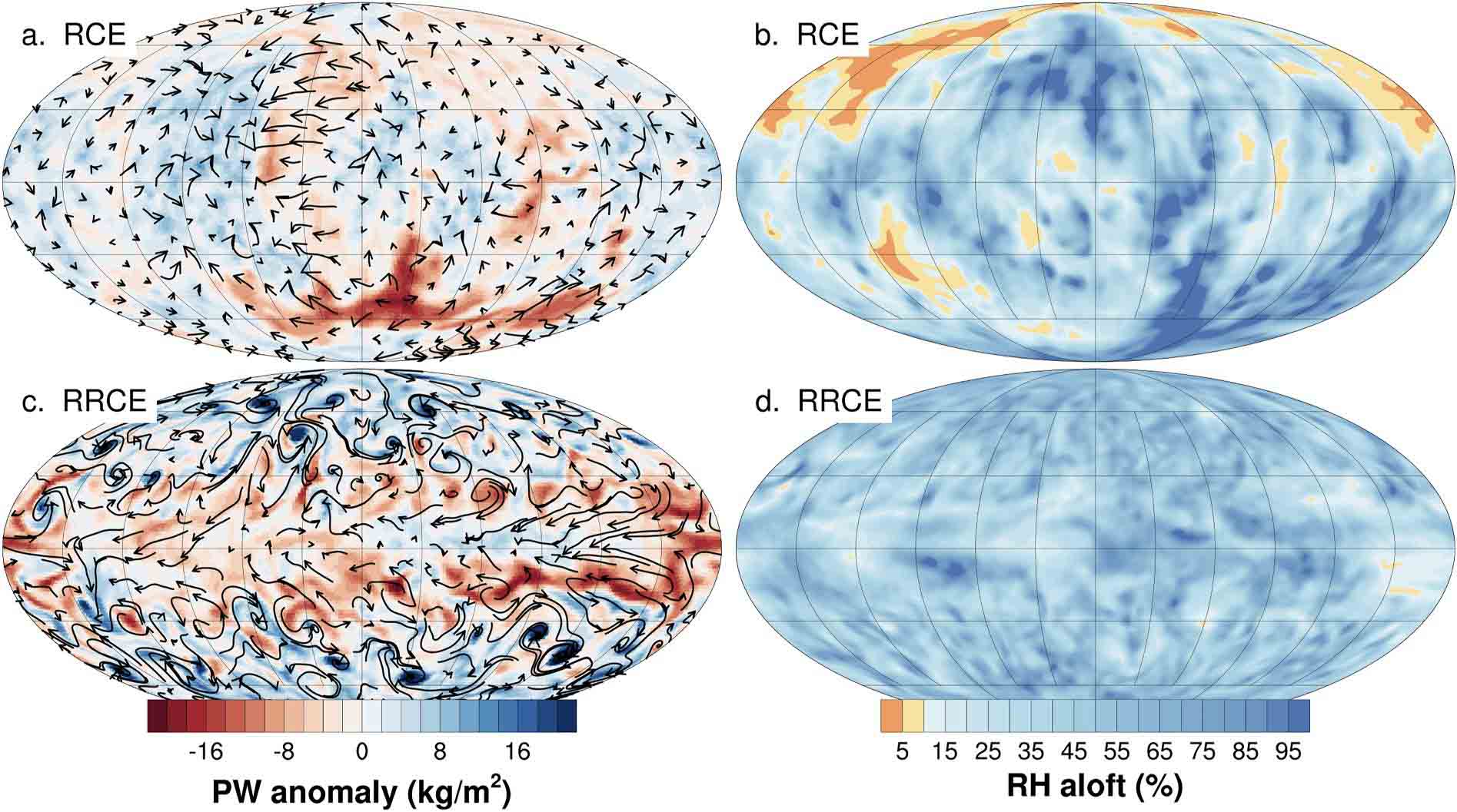
Our team develops new software and AI tools that enable better data analysis and forecasts of high-impact weather. These tools include open source software for analyzing weather lidar and radar data, and AI products for better forecasts of hurricanes.
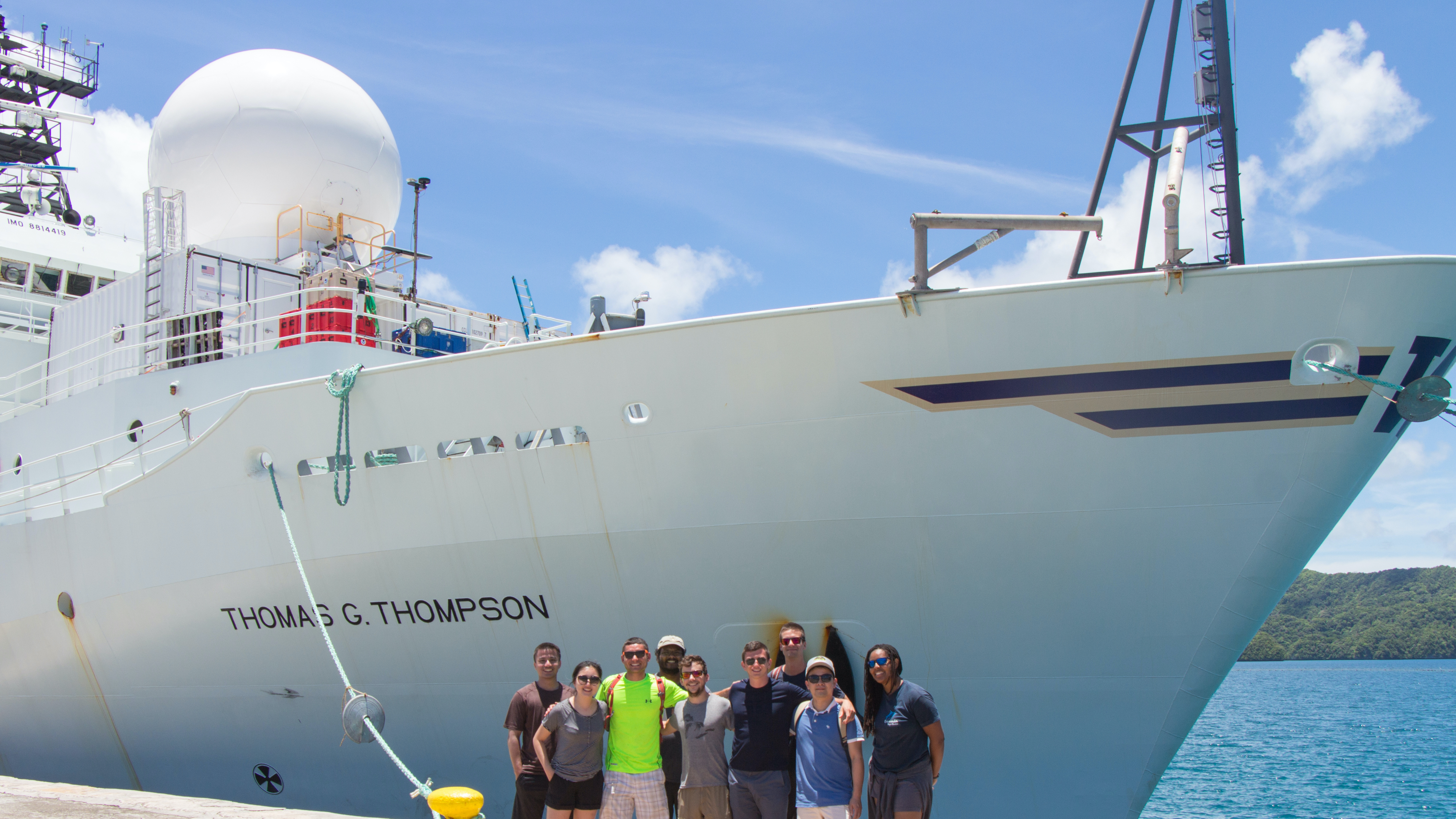
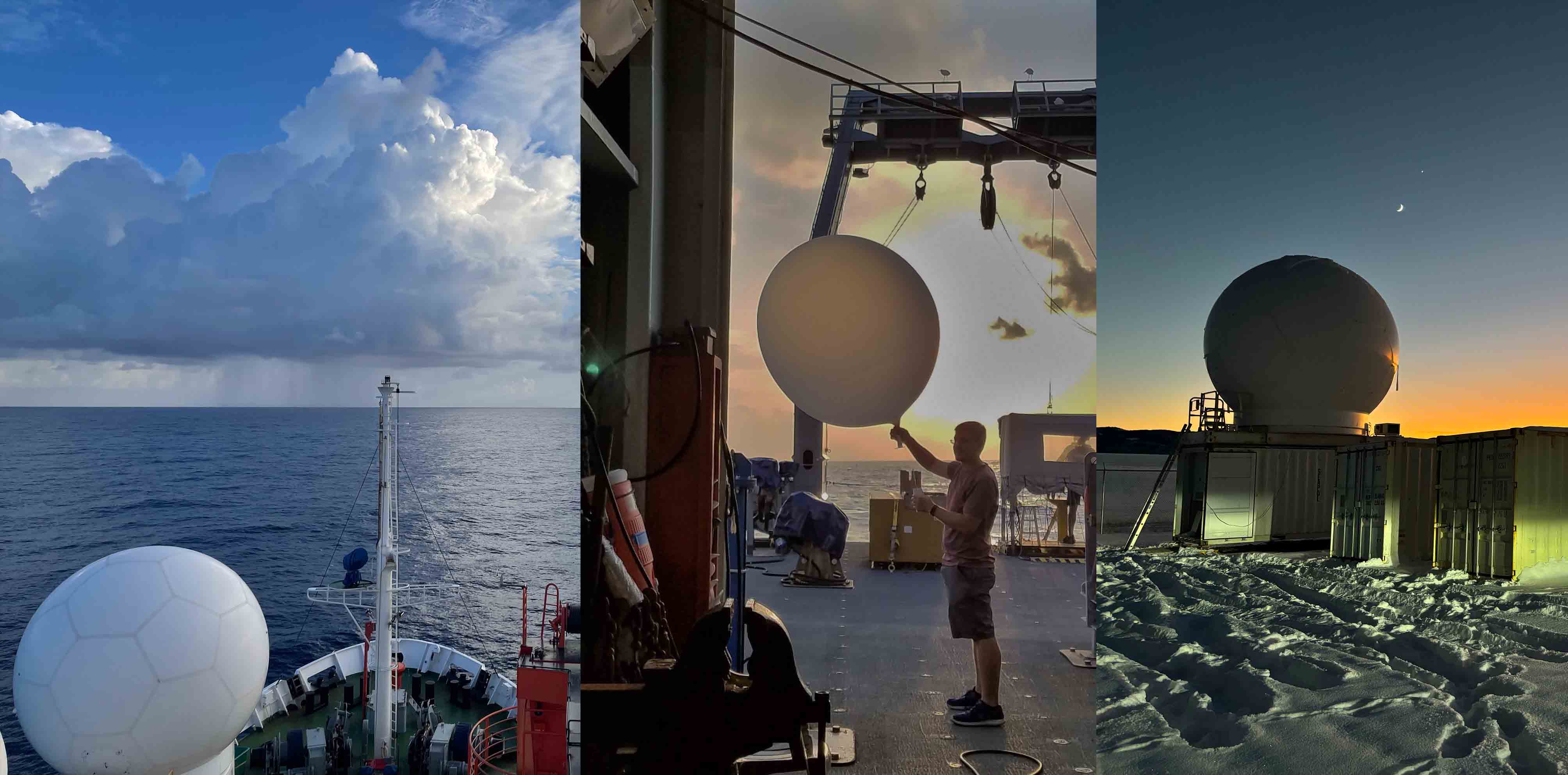
We collect data in field experiments to better study the atmosphere around the world. We manage and deploy the CSU SEA-POL radar, an NSF Community Facility, along with other weather radars on land, ships, aircraft, and satellites to study clouds and precipitation.
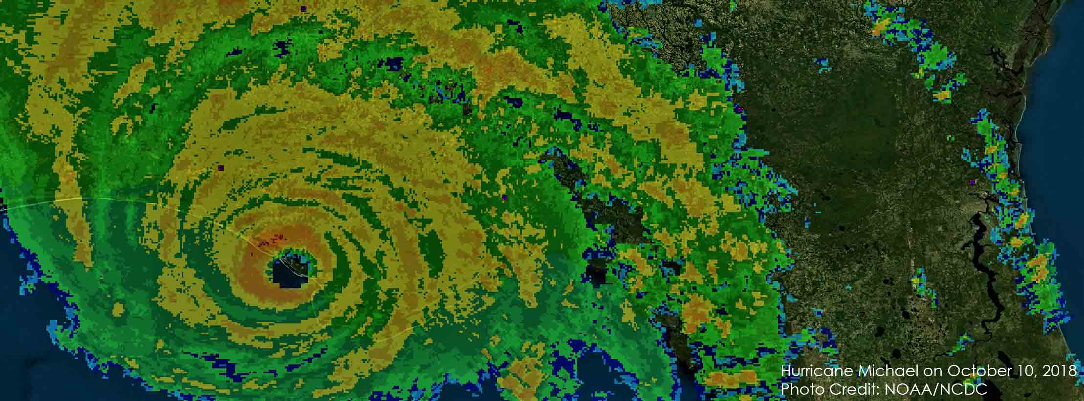
Our research team uses a combination of theoretical and numerical models to improve our understanding and prediction of extreme weather. The primary targets of our research are on high-impact tropical weather, including hurricanes, heavy rain, and El Nino impacts.
What's happening in the group

(2025-04-12)
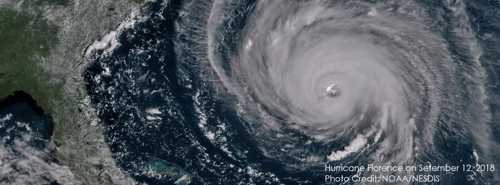
The 2025 Atlantic hurricane season is predicted to be above-normal. The Atlantic basin Accumulated Cyclone Energy (ACE) and Net Tropical Cyclone (NTC) activity are predicted to be about 125% of their long-term averages (1991-2020). The forecast team is forecasting 17 named storms, 9 hurricanes, 4 major hurricanes, and an Accumulated Cyclone Energy of 155 (the average is 123). Because of the anticipated active season, there is a higher than average probability of major hurricanes making landfall. There is a 51% probability of a major hurricane making landfall along the U.S. coastline and a 56% probability for a major hurricane tracking through the Caribbean.
(2024-12-03)
(2024-12-03)
Highlights of our team research activity